Drones have transformed modern science. They watch forests recover after fire, follow wildlife, monitor crops, map cities, measure weather, and even collect environmental DNA from tree branches. As sensors become smaller, cheaper, and more powerful, scientists can now build massive ultra-detailed datasets from the sky.
But there’s a problem.
Drone data is a mess.
Not the data itself—but the metadata, meaning all the information needed to understand, reproduce, or reuse the data.
A new 2025 Scientific Data article by Florian J. Ellsäßer & Alice Nikuze took a deep dive into this issue and identified what’s missing, what scientists need, and how we fix it. Their work moves the community toward a FAIR metadata framework—a way to make drone datasets Findable, Accessible, Interoperable, and Reusable.
Below is the simplified breakdown anyone can understand, followed by what it means for scientists, developers, and the future of UAV data.
What’s the Big Deal With Metadata Anyway?
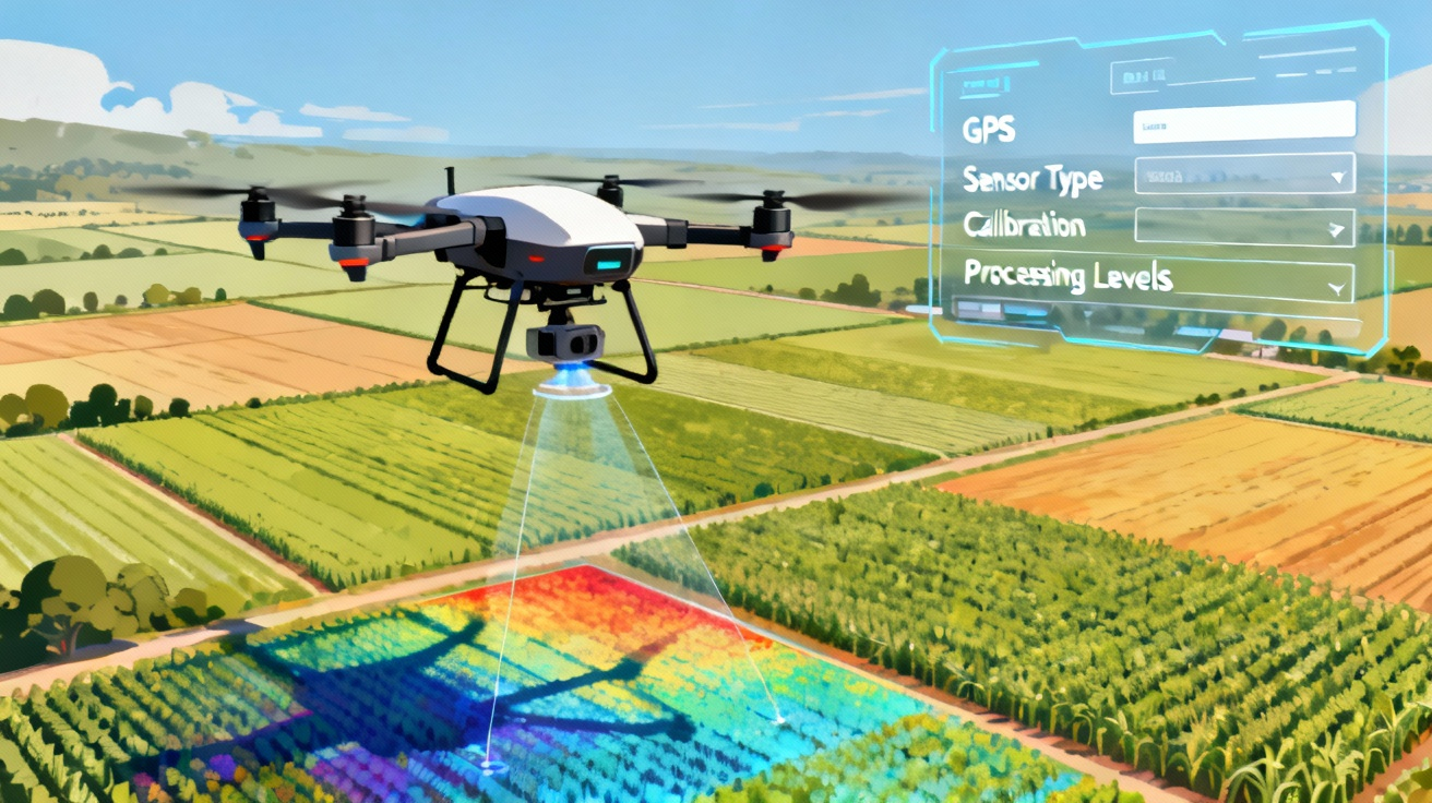
Metadata is basically instructions for how to understand the drone data. It includes:
- What drone was used
- What camera or sensor
- Flight height, angles, overlap
- Dates & times
- GPS accuracy
- Processing steps
- Calibration
- Licensing
- What software touched it… and why
Without good metadata, a dataset becomes nearly useless. Scientists can’t compare studies, reproduce results, or trust what they’re looking at.
Ellsäßer & Nikuze reviewed 71 drone datasets. What they found wasn’t pretty:
Key Findings
- Only ⅔ of datasets had structured metadata
- Many only said vague things like “RGB camera”
- Lots gave no processing details
- Flight info, calibration, and sensor specs were often missing
- Licensing was inconsistent (sometimes missing entirely)
- Some datasets gave full pipelines… others gave two sentences
This means researchers can’t always figure out:
- How accurate the data is
- What was done to clean or process it
- Whether two datasets can be compared
- Whether they have permission to reuse it
As drone science grows, this becomes a huge bottleneck.
Why Drones Make Metadata Extra Difficult
Drones are incredibly flexible. They can carry:
✔ RGB cameras
✔ Thermal imagers
✔ Multispectral & hyperspectral sensors
✔ LiDAR
✔ Atmospheric sensors
✔ Water/soil sampling gear
✔ Even eDNA collectors
Each mission might produce:
- Raw sensor logs
- Geotagged images
- Calibrated images
- Orthomosaics
- Digital Surface Models (DSM)
- Vegetation indices (NDVI, etc.)
- Classification maps
- 3D reconstructions
- Simulations or predictive models
This means metadata must capture both data acquisition and data processing workflows. Most existing standards treat these separately—and poorly.
What Existing Standards Do Right (and Wrong)
The authors compared metadata frameworks like:
- MIF (Minimum Information Framework) – good for flight info, weak for processing
- NASA Data Processing Levels – excellent for calibration & workflow clarity
- ISO 19115 / ISO 19115-2 – comprehensive but extremely complex
- INSPIRE – good structure, no UAV-specific fields
- DCAT / GeoDCAT / STAC – great for searchability, not great for processing details
The main issue?
No framework covers the whole UAV data lifecycle.
The Authors’ Solution: A Tiered FAIR Metadata Framework for Drone Data
Ellsäßer & Nikuze propose a flexible metadata framework that works like a menu. Scientists can provide:
Basic FAIR Metadata
Minimum needed for reuse
(Title, author, license, location, date, sensor type)
Expanded UAV-Specific Metadata
(Flight paths, calibration, sensor models, weather conditions)
Full Lifecycle Metadata
Detailed data provenance
Processing chain
Software details
Processing levels (0–4)
Processing Levels Adapted for Drones
Using NASA’s satellite levels as inspiration:
Level 0 — Raw Data
Uncalibrated images, unprocessed logs
Level 1 — Calibrated Data
Radiometric correction, calibrated point clouds
Level 2 — Georeferenced/Mosaicked
Orthomosaics, DSMs, georeferenced rasters
Level 3 — Analytical Products
Indices, classifications, vegetation maps
Level 4 — Models & Simulations
3D reconstructions, predictions, yield models
Why This Matters (For Everyone)
For Scientists
- Better reproducibility
- Easier collaboration
- Stronger peer review
- More useful public datasets
For the Public & Non-Scientists
- More trustworthy environmental and climate data
- Better transparency
- Clearer licensing and reuse options
For Developers & Tech Companies
- More interoperable data
- Easier to build tools, dashboards, and AI pipelines
- Cleaner integration with GIS and cloud EO platforms
The Future of Drone Data
Drones are becoming the new microscope of Earth science. They produce incredibly rich data, but without clean metadata, that data becomes digital junk.
This new FAIR-driven framework:
- Brings clarity
- Creates interoperability
- Helps the community speak the same “data language”
- Sets the foundation for a future ISO 19115 Community Profile
It’s not a formal standard yet—but it’s a major step toward one.
Check out the cool NewsWade YouTube video about this article!
Article derived from: Ellsäßer, F. J., & Nikuze, A. (2025). Towards a FAIR metadata framework for drone and uncrewed aerial vehicle data. Scientific Data. https://doi.org/10.1038/s41597-025-06376-9